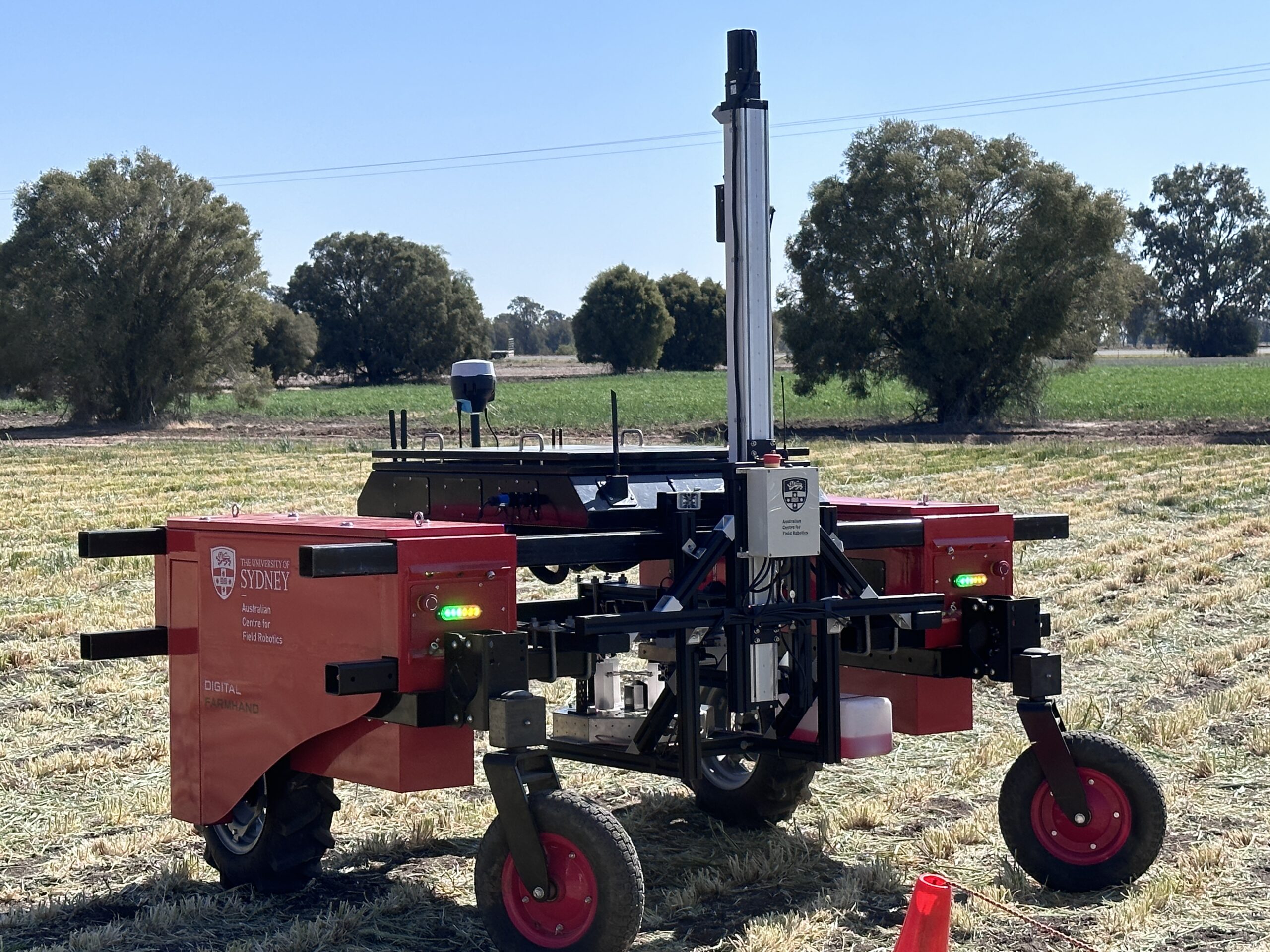
Encapsulates our cutting-edge project that synergies heterogeneous ground and aerial robotics with IoT sensor networks and digital twinning technology. This multidimensional approach is designed to map and analyse macronutrient and water distribution across agricultural landscapes in real time. By unifying air and ground robotic platforms and sensing technologies, we create a comprehensive digital representation of the farm environment, enabling precise monitoring and management of resources. It’s a leap forward in precision agriculture, providing farmers with the tools for enhanced resource stewardship and sustainable farm management.

All topics
